 |
|
Formule4 - La Terre vue du Sol | |

|
|
|
|


Updated : 0000-00-00
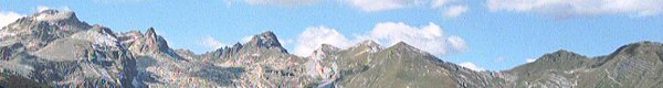
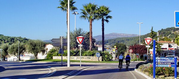
Depuis Nice (1), prendre l'A8 vers Aix et sortez à Cagnes sur Mer (2). Prenez la direction de Vence. Au rond point (3) ne prenez pas vers Vence mais vers la Colle sur Loup. Au rond point suivant prenez la côte à gauche puis, en haut, à droite pour entrer dans la Colle sur Loup.
From Nice (1) take Highway A8 and leave at Cagnes sur Mer (2). Go ahead Vence. At cross road, leave direction to Vence and go to direction to Colle sur Loup. At next cross, take the climbing road on the left then, up, to the right to enter in Colle sur Loup.
Accédez à cette route du Raid
Go to this route of the Raid
Updated : 0000-00-00
Juste à la sortie de la Colle, prenez à gauche
Just after the town of la Colle, take on the left
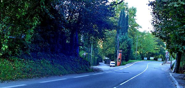
Sur la D436, vous prendrez la route qui monte à gauche au rond-point. En haut de la côte, prenez à droite puis traversez la Colle sur Loup en direction de Bar sur Loup. En sortant de la ville, en bas de la descente, prenez l'impasse à gauche en vous repérant au kayak rouge. Garez-vous au fond de l'impasse.
On D436, take the road that climbs on the left. Once up, take right to cross all the town of la Colle in direction of Bar sur Loup. Just after the city, down the slide down road, take on the left marked by the red kayak and station at the end of the dead end.
Accédez à cette route du Raid
Go to this route of the Raid
Updated : 0000-00-00
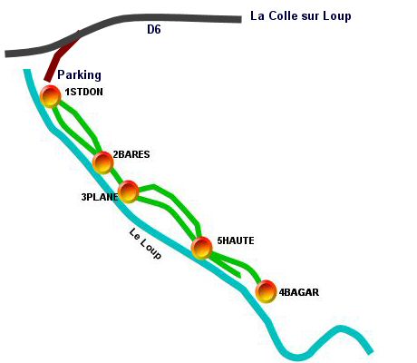
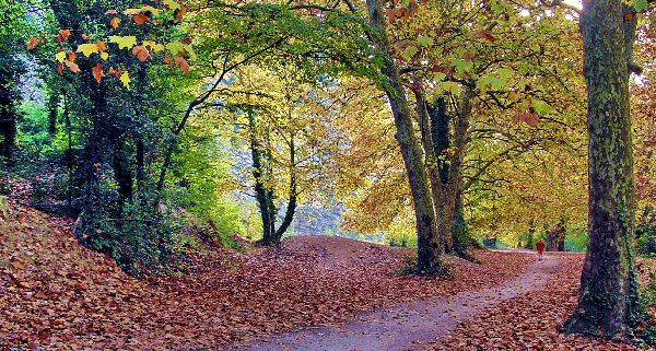
Plan de la Randonée
Map of the Hike Tour
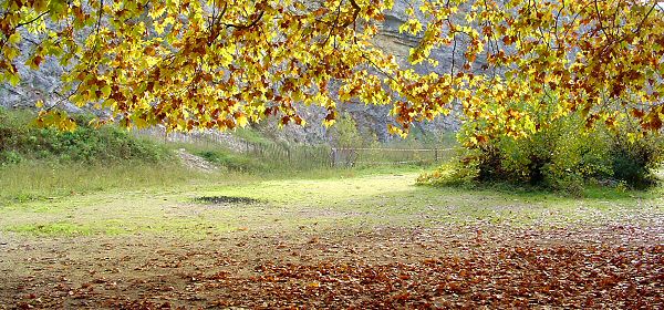
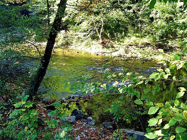
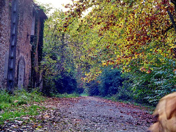
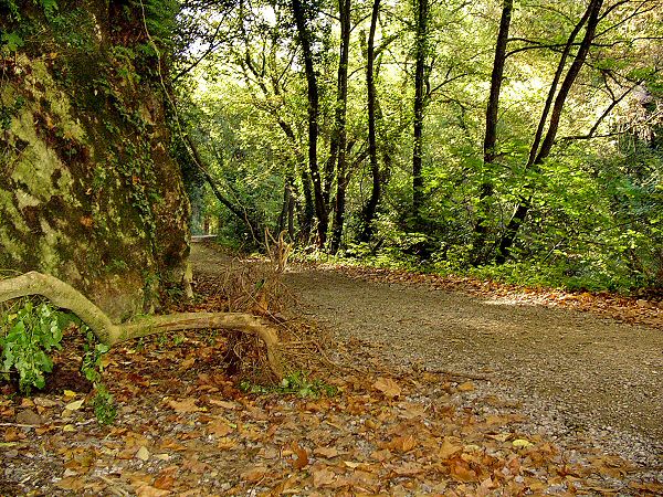
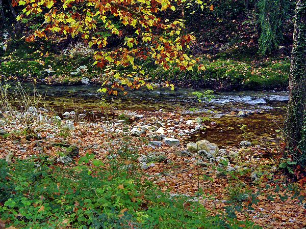
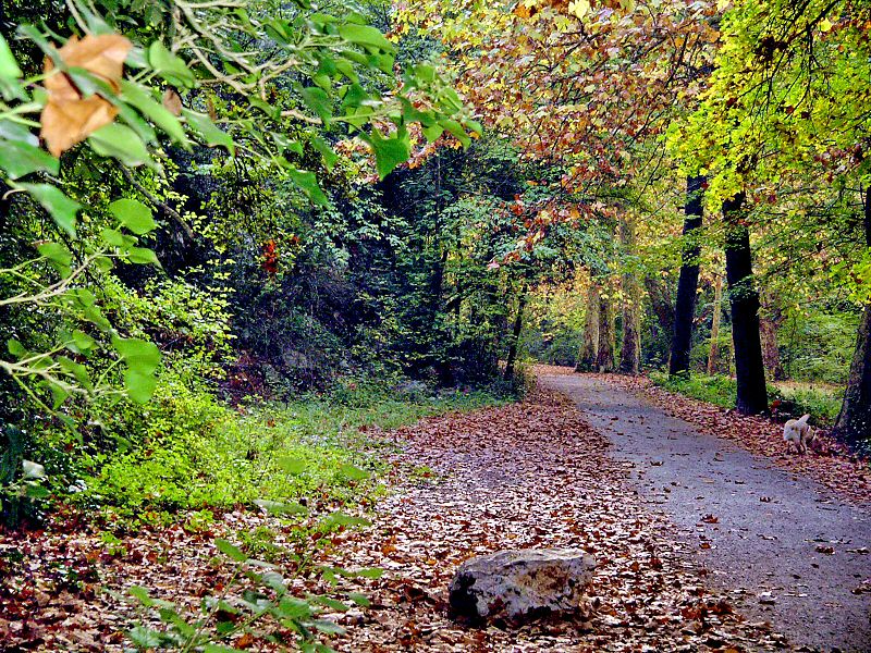
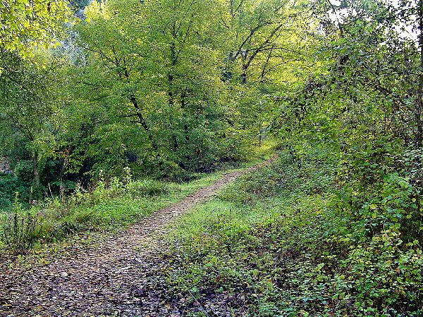
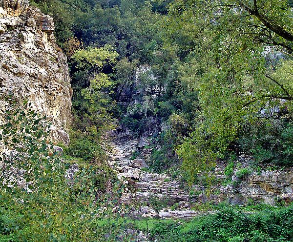
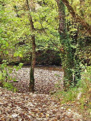
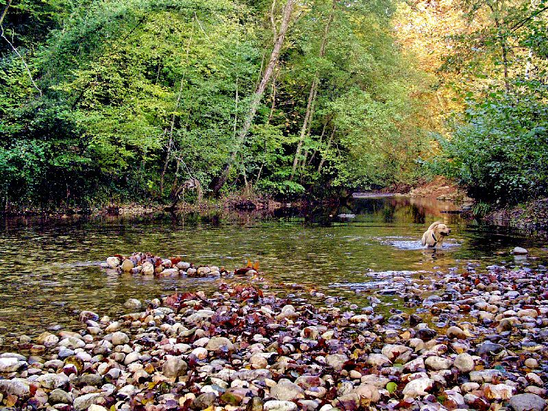
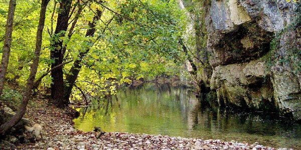
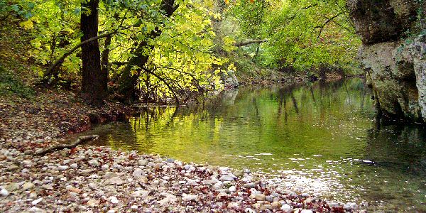
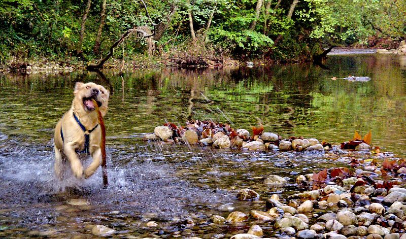
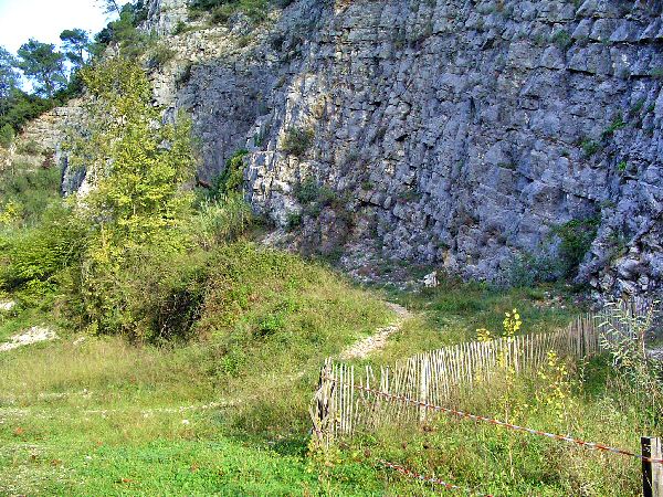
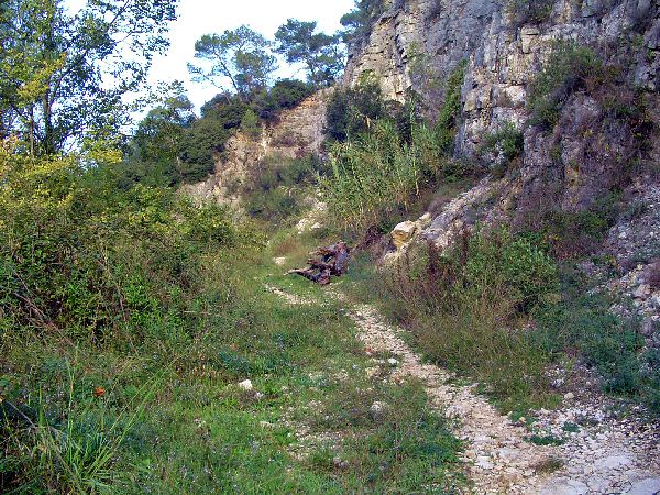
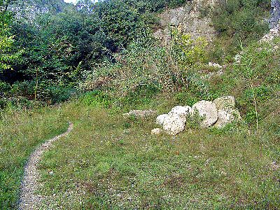
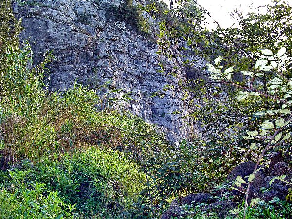
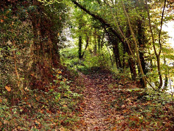
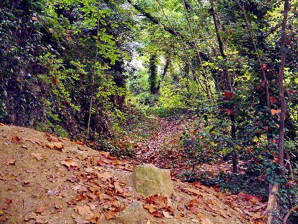
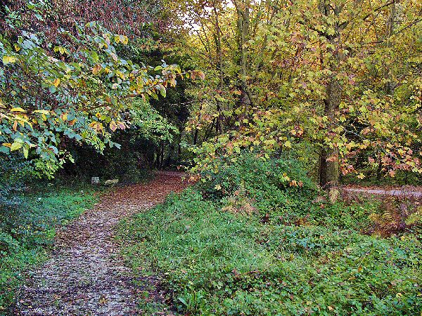
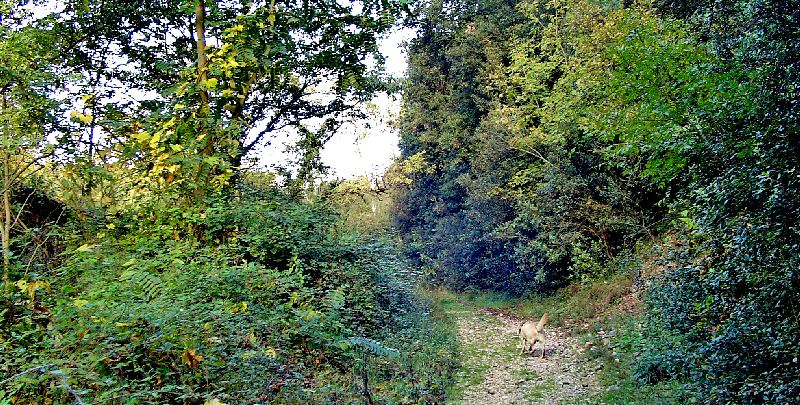
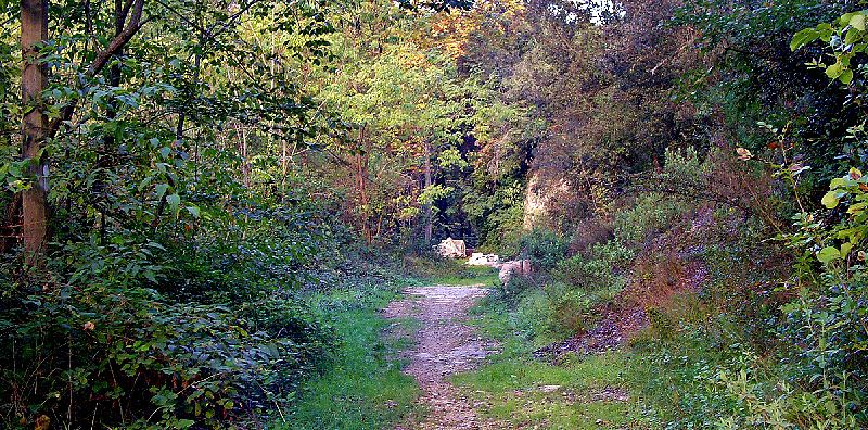
En partant de la barrière, suivez la rivière jusqu'au point WPT4. Revenez sur vos pas en passant par le sentier du haut au WPT5 puis derrière les batisses au WPT2.
From the gate, follow the river up to WPT4. To come back, take the up way and WPT5 then the backdoor way at WPT2
 Road Book - Waypoints

| N° | Codec | Nom | Latitude | Longitude | Altitude |
| 1 | 1STDON | St Donnat | N 43°40'48 | E 007°05'23 | 00037 m |
| 2 | 2BARES | Les Barres | N 43°40'41 | E 007°05'29 | 00039 m |
| 3 | 3PLANE | Plane | N 43°40'38 | E 007°05'32 | 00036 m |
| 4 | 4BAGAR | Bagarrée | N 43°40'29 | E 007°05'48 | 00031 m |
| 5 | 5HAUTE | Haute | N 43°40'33 | E 007°05'40 | 00031 m |
Updated : 0000-00-00
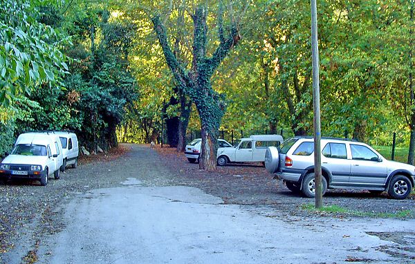
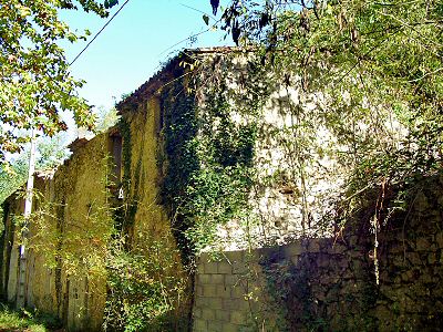
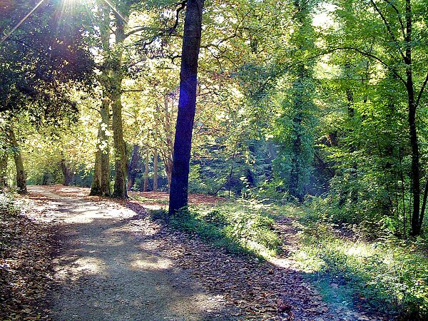
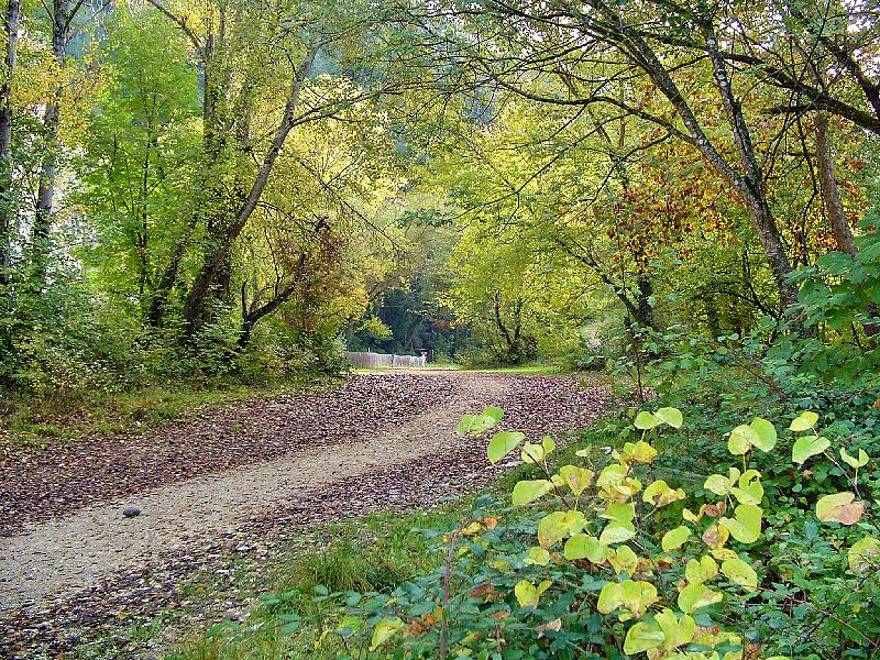
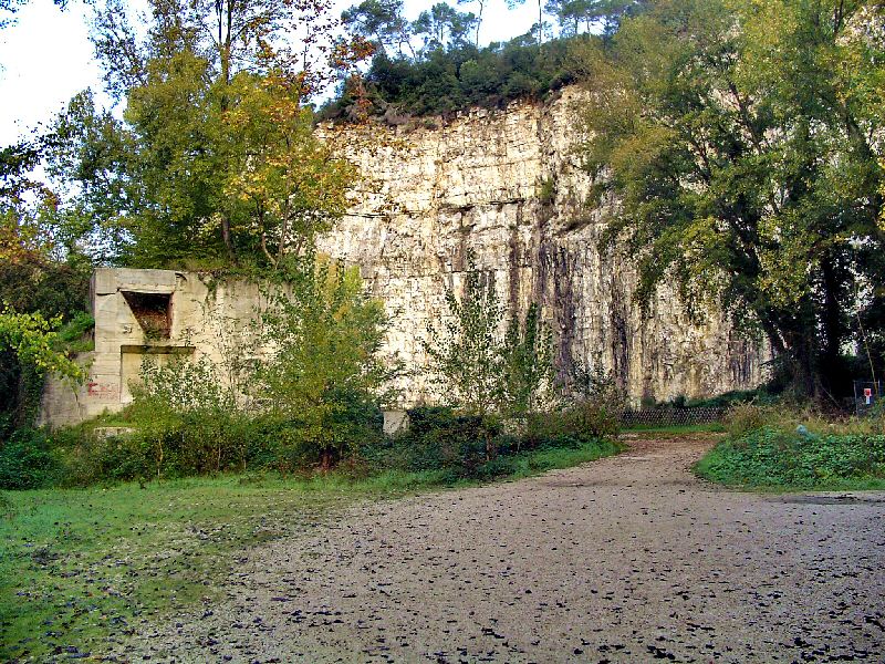
Le parking est au fond de l'impasse
The car park is at the end of the dead end
Updated : 0000-00-00
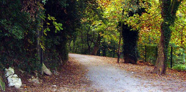
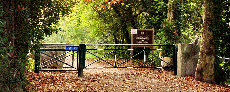
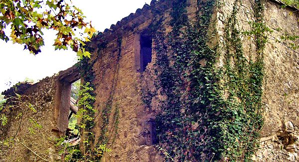
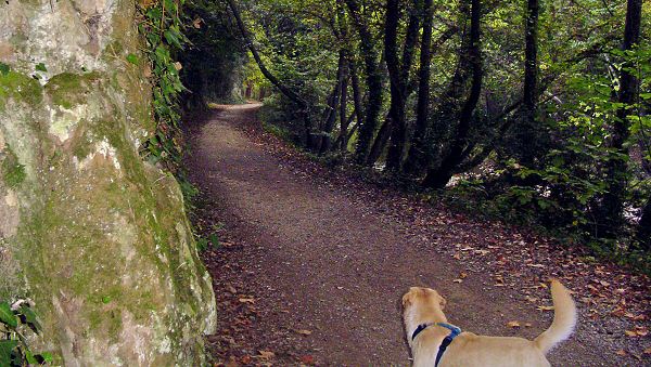
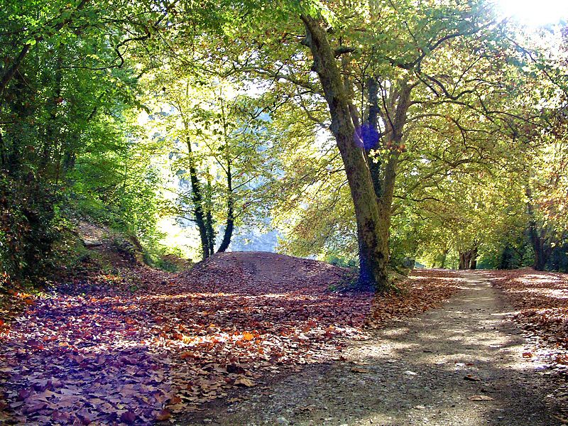
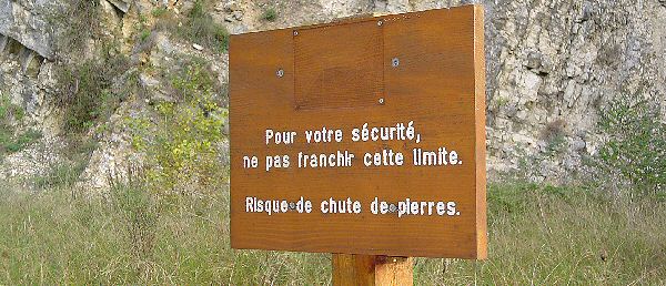
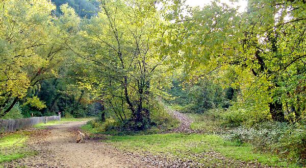
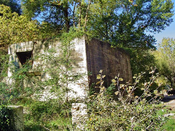
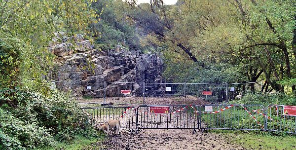
Direction la grille d'entrée
Go to the entrance gate
Accédez à cette route du Raid
Go to this route of the Raid
Updated : 0000-00-00
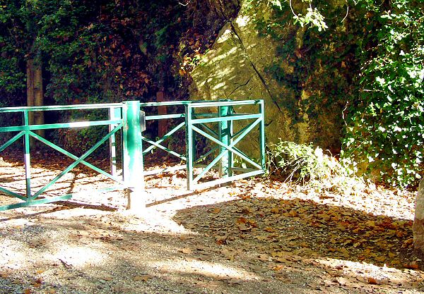
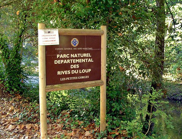
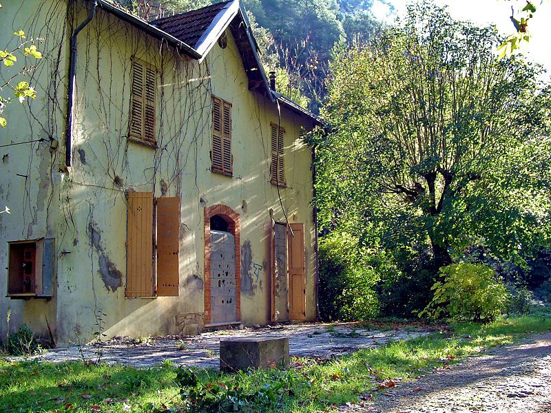
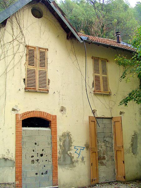
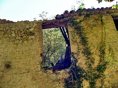
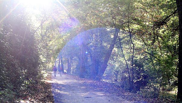
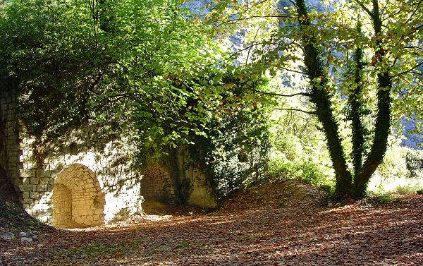
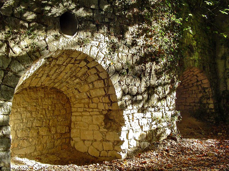
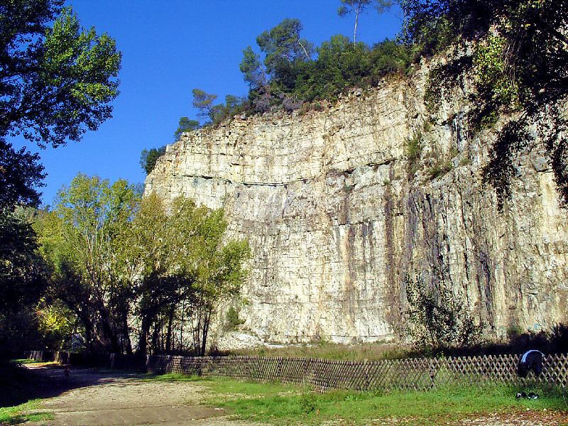
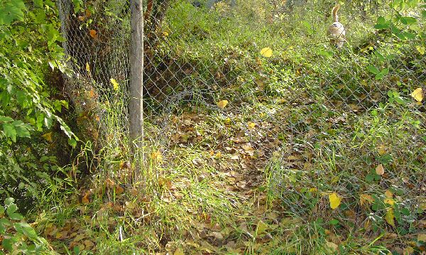
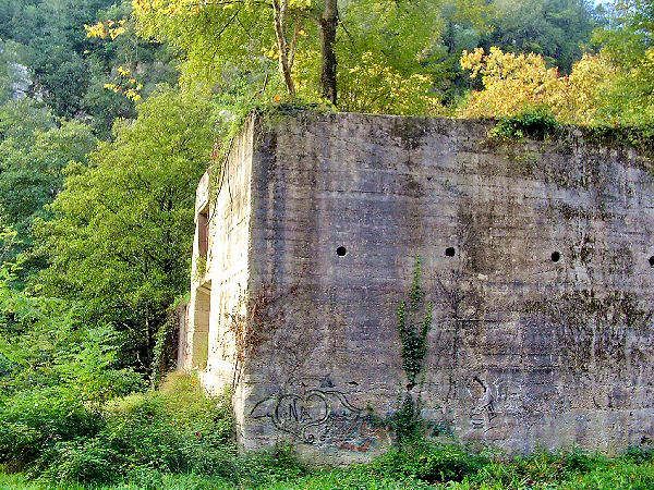
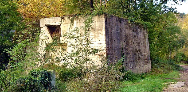
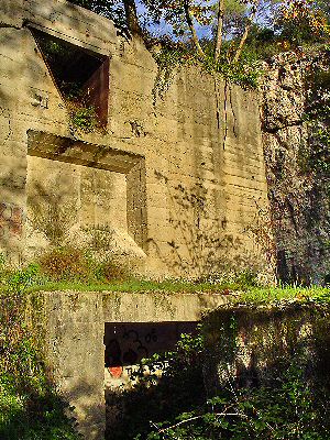
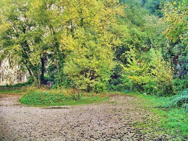
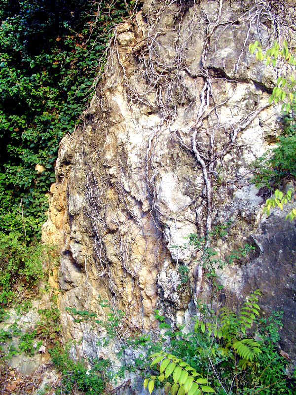
WPT1 Entrée du Parc
WPT1 Enter of the Parc
Updated : 0000-00-00
Updated : 0000-00-00
Updated : 0000-00-00
Updated : 0000-00-00
Updated : 0000-00-00
Updated : 0000-00-00
Updated : 0000-00-00
Updated : 0000-00-00
 Updated : 0000-00-00 |
 Updated : 0000-00-00 |
Updated : 0000-00-00
Updated : 0000-00-00
Updated : 0000-00-00
Updated : 0000-00-00
Updated : 0000-00-00
Updated : 0000-00-00
Updated : 0000-00-00
Updated : 0000-00-00
Updated : 0000-00-00
Updated : 0000-00-00
Updated : 0000-00-00
Updated : 0000-00-00
Updated : 0000-00-00
Accédez à cette route du Raid
Go to this route of the Raid
Updated : 0000-00-00
Updated : 0000-00-00
Updated : 0000-00-00
 Updated : 0000-00-00 |
 Updated : 0000-00-00 |
Updated : 0000-00-00
Updated : 0000-00-00
Updated : 0000-00-00
Updated : 0000-00-00
Updated : 0000-00-00
Accédez à cette route du Raid
Go to this route of the Raid
Updated : 0000-00-00
Updated : 0000-00-00
Updated : 0000-00-00
Updated : 0000-00-00
 Updated : 0000-00-00 |
 Updated : 0000-00-00 |
Updated : 0000-00-00
Updated : 0000-00-00
Updated : 0000-00-00
Updated : 0000-00-00
Updated : 0000-00-00
Updated : 0000-00-00
Updated : 0000-00-00
Updated : 0000-00-00
Updated : 0000-00-00
Updated : 0000-00-00
Updated : 0000-00-00
 Updated : 0000-00-00 |
 Updated : 0000-00-00 |
Updated : 0000-00-00
Updated : 0000-00-00
Updated : 0000-00-00
Updated : 0000-00-00
Updated : 0000-00-00
Updated : 0000-00-00
Updated : 0000-00-00

Updated : 0000-00-00
Updated : 0000-00-00
Updated : 0000-00-00
Formule 4 Ne pas fumer tue aussi sitemap
|
|